Positioning
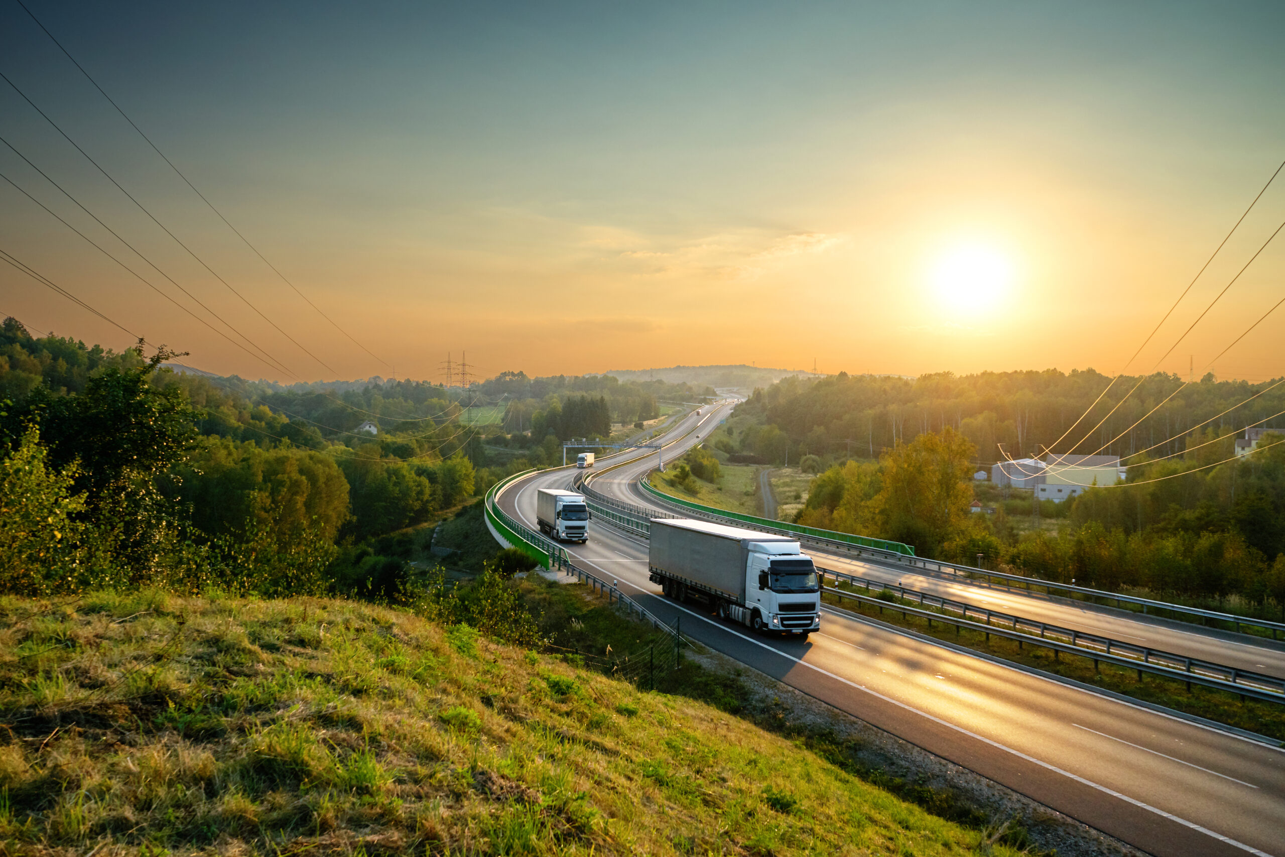
Track your entire vehicle fleet using GPS positioning. Through Transportportalen’s map module, you can monitor your entire vehicle fleet in real-time (with 5-second intervals) and review historical data.
Cloud-based solution
We use maps from Google Maps, and all information is delivered via an IoT platform as a cloud-based solution. Connect your own existing hardware or purchase hardware from us that comes with simple installation instructions. Choose whether you want to install it yourself, otherwise, we will arrange for installation, service, and support for your devices.
Keep track of your vehicles with the Map service
To maintain order and control over your vehicles, you need knowledge. Knowledge of where each vehicle is located and where it has been. With Transportportalen’s map app, you can see the real-time location of your vehicles. Through the app, you receive information about your entire vehicle fleet, at any time of day, 365 days a year.
See speed and analyze journeys
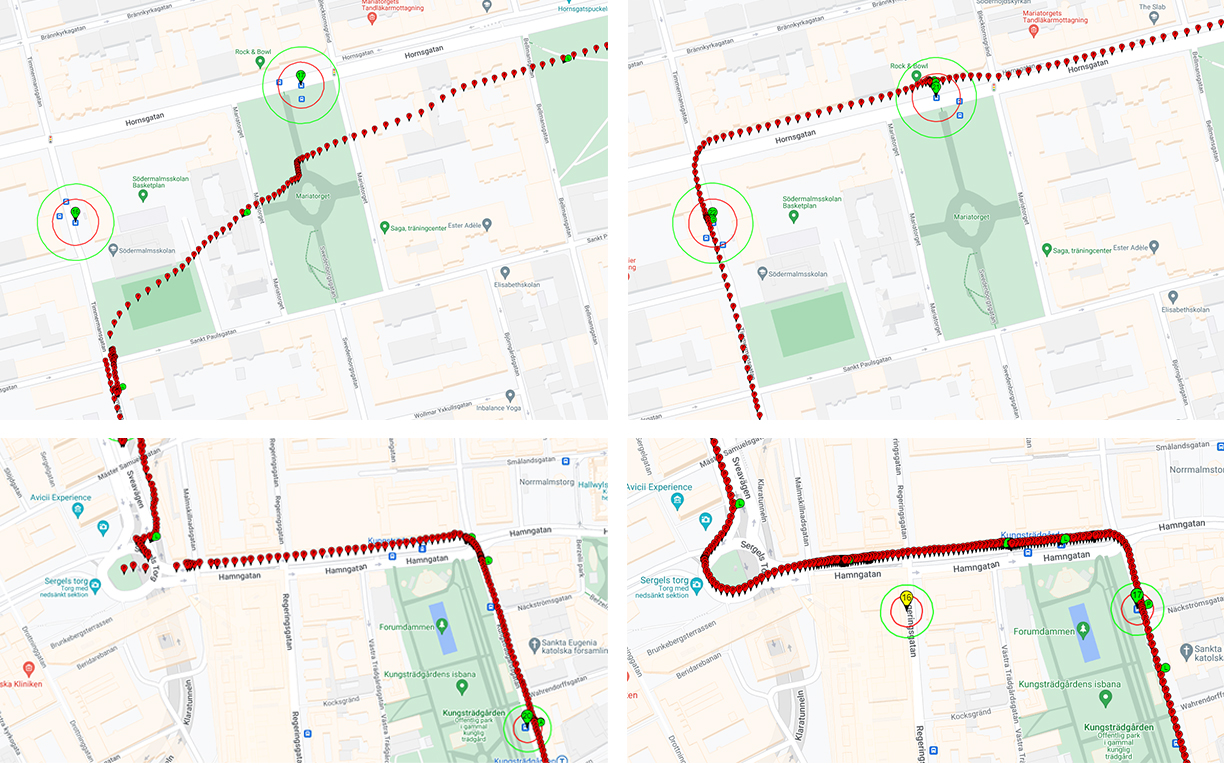
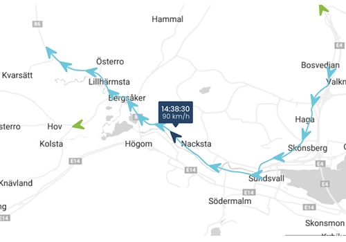
You can identify each vehicle by its internal number and registration number. You can see the vehicle’s speed both historically and in real-time. The technology is the same as for the Google Maps app, allowing you to zoom in on the map for a more precise position. In addition to the graphical map view, you can also choose to view the map as images in Street View.
Because you can see both the speed and where the vehicle has been, you can use this information to analyze journeys. You can quickly identify speeding violations and any stops.
Benefits of the Map service
Connecting to the Map service is convenient. You can easily use your own existing hardware or purchase hardware from our certified supplier Malux. They can also assist you with equipment installation, service, and support for your devices.
Additional benefits of the service:
Frequently Asked Questions
Which positioning system would you choose?
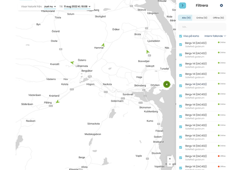
Position view before our solution
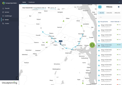
Position view after our solution